
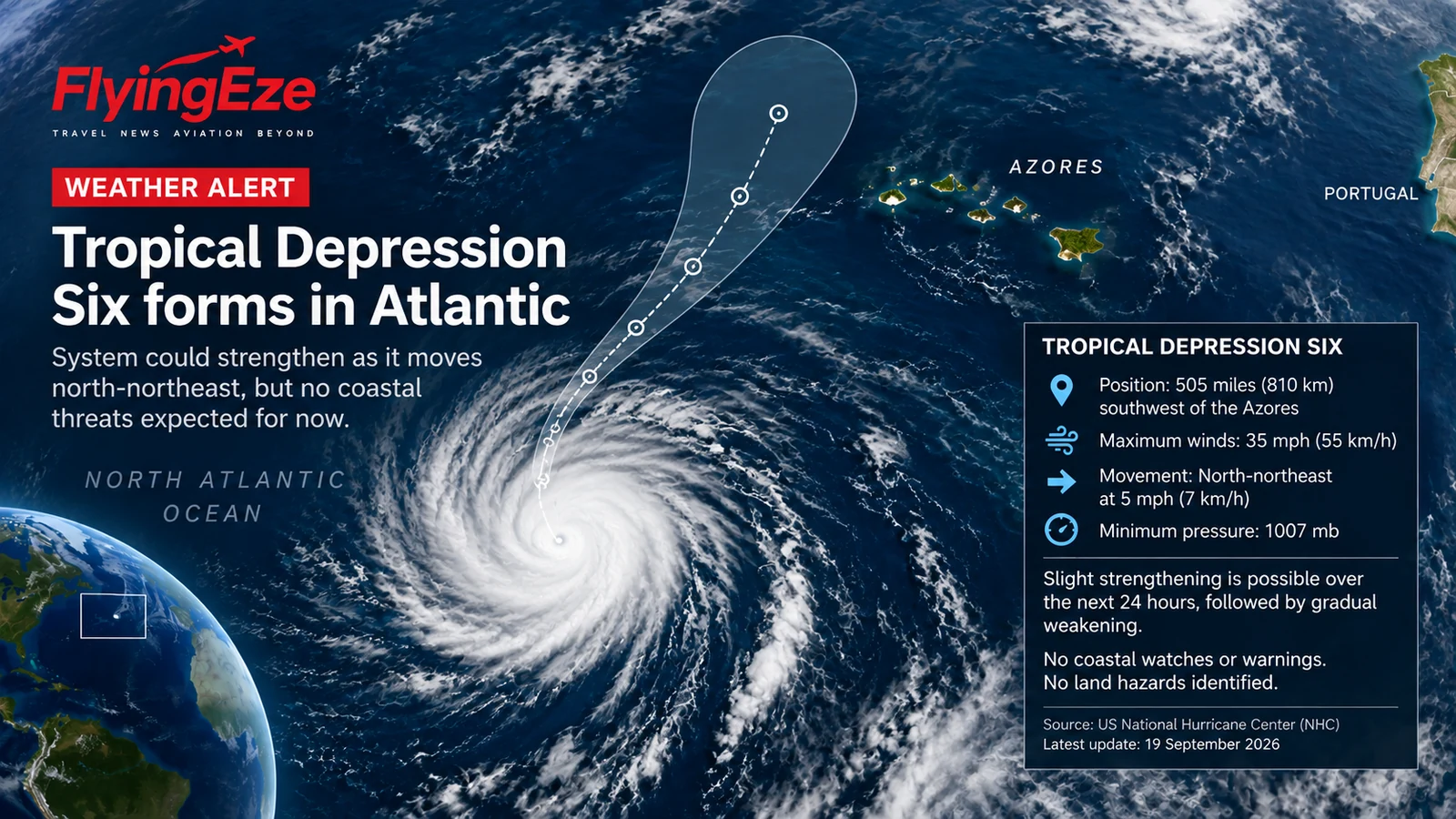
Tropical Depression Six has formed over the North Atlantic southwest of the Azores, with forecasters saying the system could briefly strengthen into a tropical storm before weakening again.
At the latest National Hurricane Center information available to FlyingEze, the depression was centred near 32.9°N, 33.4°W — roughly 505 miles (810 kilometres) southwest of the Azores — and was moving north-northeast at about 5 mph (7 km/h). Maximum sustained winds were near 35 mph (55 km/h), with an estimated minimum central pressure of 1007 mb.
No coastal watches or warnings
The most important point for residents and travellers is that there were no coastal watches or warnings in effect. The National Hurricane Center also listed no land hazards associated with the system at the time of the advisory.
The depression is expected to move generally towards the northeast during the near term before changing direction later in the forecast period. The system remains over open Atlantic waters rather than moving directly towards a populated coastline.
Could Tropical Depression Six become Fay?
Forecasters said slight strengthening was possible during the next 24 hours. If the system reaches tropical-storm strength, it would receive the name Fay.
However, the forecast does not indicate a prolonged period of strengthening. National Hurricane Center guidance points to gradual weakening after the short window in which tropical-storm intensity is possible, with the system expected eventually to become a remnant low and dissipate.
That distinction matters because tropical-cyclone headlines can sometimes imply a direct threat to land even when a system is remote and relatively weak. At present, Tropical Depression Six is being monitored primarily because of its potential development over the open North Atlantic, not because authorities have issued warnings for the Azores or another coastline.
What travellers should know
There is currently no official indication that travellers to or from the Azores need to change plans because of Tropical Depression Six. Anyone travelling through the North Atlantic region should nevertheless continue checking airline and airport updates, particularly if the cyclone strengthens or its forecast track changes.
Weather systems can also affect flight routing well away from land through turbulence, thunderstorms and changes to upper-level winds. Airlines and air-traffic-control organisations routinely adjust routes around significant weather, but any operational effects would depend on the storm's eventual strength, position and timing.
Forecast uncertainty remains
Tropical-cyclone forecasts become less precise farther into the future. Small changes in steering winds can alter a weak system's track, and intensity forecasts can change as forecasters receive new satellite observations and other data.
For that reason, FlyingEze will treat any upgrade to Tropical Storm Fay, new warnings or a material change in the forecast as a separate confirmed development rather than assuming the depression will strengthen.
The latest official information should be checked directly with the US National Hurricane Center .