NEW thunderstorm warnings have been issued covering most of Britain, as the Met Office says to be ready for hail, lightning and “intense” rain.
The have been put in place and cover most of Sunday as up to 40mm of rain is possible over several hours in some areas, according to the service.
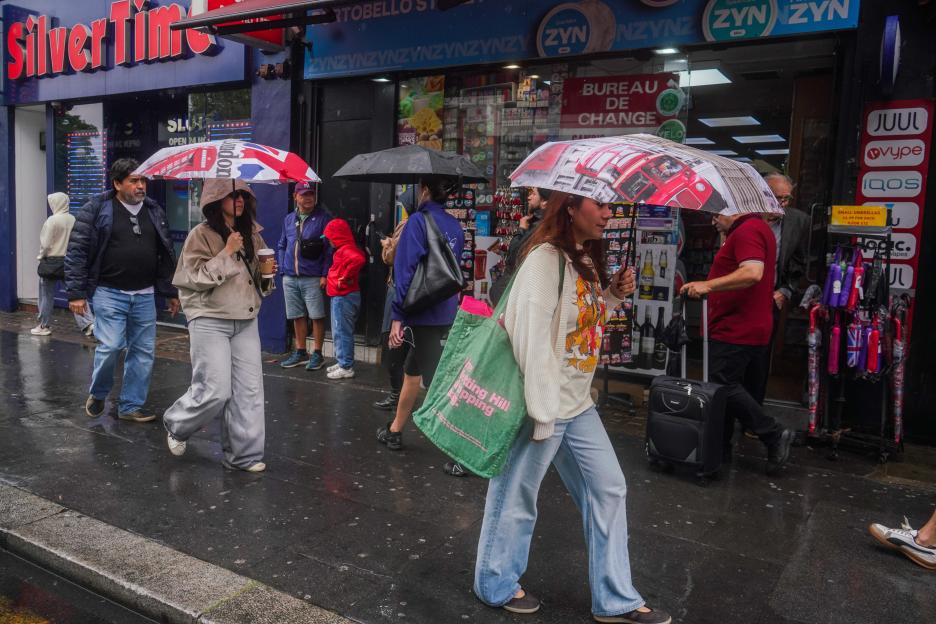 Shoppers in Notting Hill, West London, get caught in the rain Credit: Splash
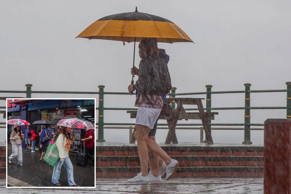
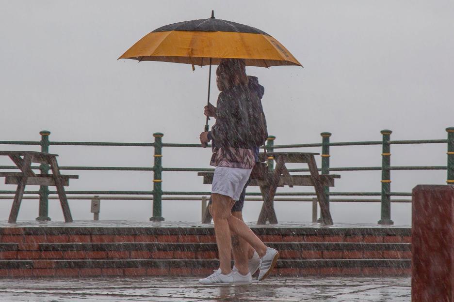 A couple shelter under an umbrella in Tywyn on the Welsh coast Credit: Alamy
Forecasters warned that heavy showers and thunderstorms may impact driving conditions and cause delays to , with the potential for some flooding to and businesses.
One warning, which covers south-west , , parts of south-east England and stretches up to the Scottish border, is active until midnight tonight.
Another covers most parts of and is in place until 9pm tonight.
A third, covering north-east England and central , and is in place until 11pm.
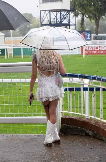 Racegoers at Royal Windsor Racecourse in Berkshire were determined to enjoy their evening of horse racing despite the downpour Credit: Shutterstock Editorial
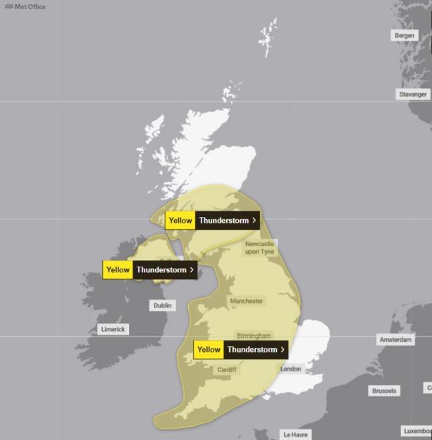 The Met Office has issued three yellow weather warnings for thunderstorms today Credit: MET Office
Wind gusts of up to 45mph will also be hazardous in some areas, the said, as it advised those in the warning zones to prepare for potential short-term cuts.
In an online forecast on Sunday, Met Office meteorologist Kathryn Chalk said people will “need that umbrella at hand” as showers sweep the country that afternoon.
She said: “Through the rest of the afternoon, there are Met Office yellow thunderstorm warnings in force across much of the , so expect some heavy, intense downpours, frequent , rumbles of thunder and also some hail mixed in.
“The showers mostly focus across the west through the afternoon and becoming a bit banded, so some longer spells of rain, especially across southern and northern parts of England.
“Towards the far south and east, that’s where we largely hold on to drier conditions and some sunny spells, but the odd shower can’t be ruled out.
“Some strong winds as well developing, especially across the south-west, and feeling cool underneath any of these intense downpours.”
Highs of 23C are expected in Norwich on Sunday, along with 22C in London and Hull, 21C in Cardiff and 18C in Glasgow, according to the Met Office.
Monday – which is a bank holiday in England, Wales and Northern Ireland – will see a “fine and largely dry afternoon” with showers in some areas, Ms Chalk said.
It comes after music fans at Reading Festival donned ponchos and umbrellas, and frolicked in the mud after getting caught in downpours over Friday and Saturday.
While some were seen flinging mud at each other and playing in puddles, others hid beneath their plastic ponchos as they braved the poor weather conditions.
Elsewhere, the at Lord’s in London was halted by the rain on Saturday.
Festivalgoers heading to , Creamfields and other live music events had previously been warned of unseasonably strong winds.
As of Sunday afternoon, seven areas are covered by Environment Agency flood alerts, meaning floods are possible.
It comes after continued hot weather across the UK, which coincided with extremely dry conditions.
These included the River Stour in , the Tidal Fal estuary and parts of the south Cornwall coast.
The Met Office has previously said the UK is on course for its hottest on record after five heatwaves, with temperatures of up to 38.1C recorded in London.