
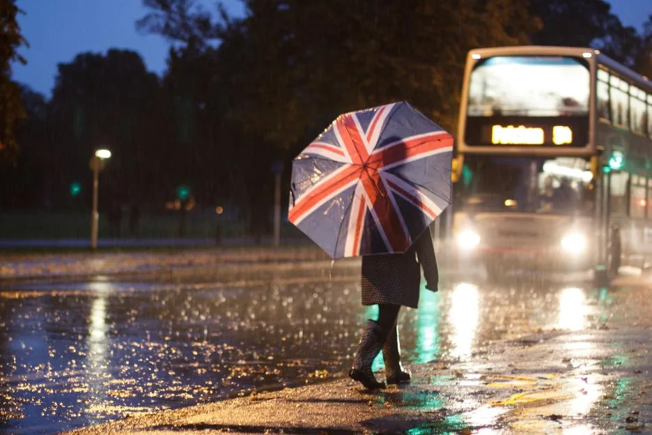
HAIL, thunder and heavy rain are expected to batter Britain over the next few days, the Met Office has warned.
Temperatures will plunge over the weekend as a cold front moves across the country.
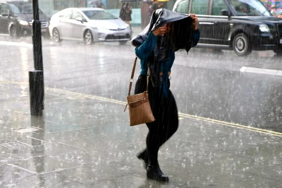
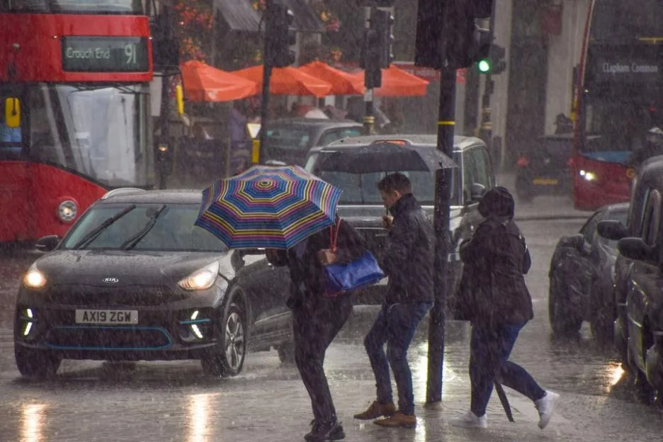
Fresher, autumnal conditions have been predicted for this weekend, with blustery showers, the has said.
There are grey and drizzly conditions this morning in central and southern England, as well as .
Persistent rain will be driven southeastwards by a strong southwesterly breeze as the day continues.
Heavy downpours are expected to linger over Shetland along with a “rash” of blustery Atlantic showers sweeping over the west and north of .
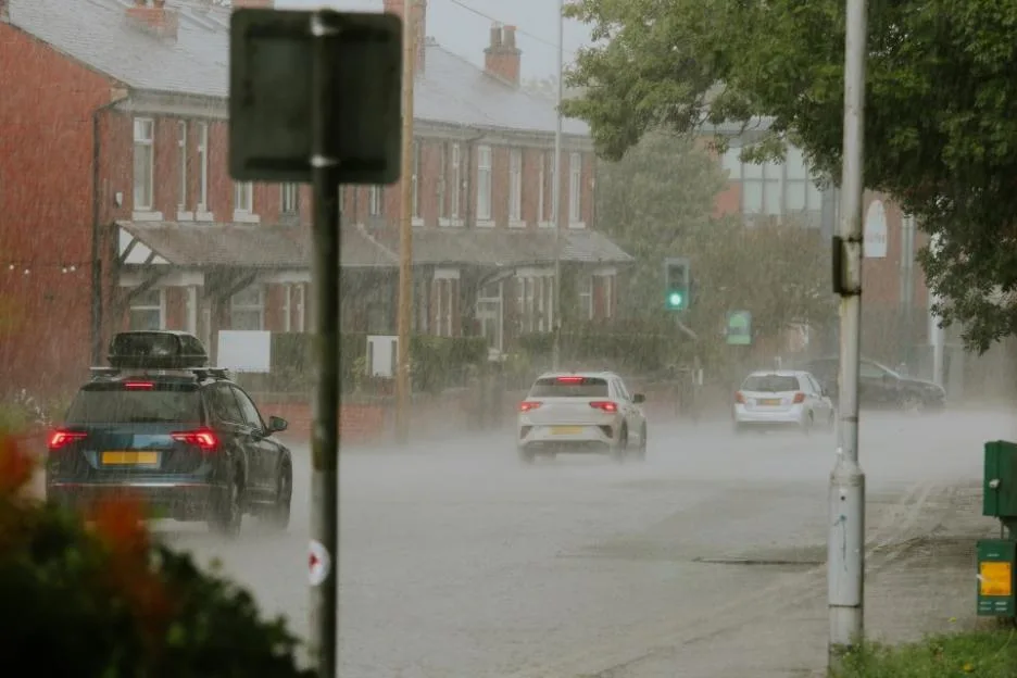
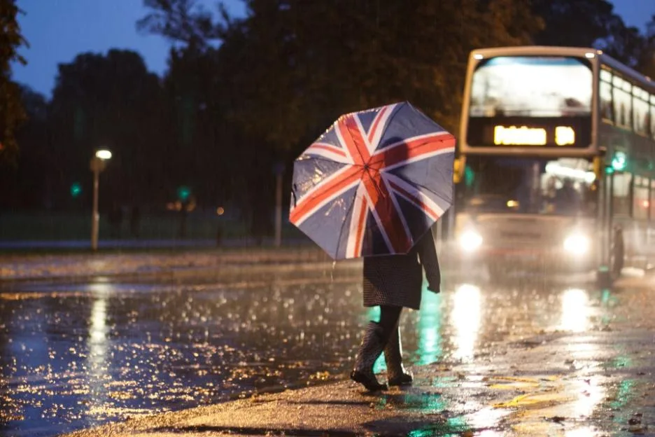
Temperatures will hover between 15C and 17C, but the wind will make conditions feel cooler and fresher.
Blustery showers and strong winds will create brisk conditions as we head into the weekend.
Commuters have been warned of tricky driving conditions this evening as there will showers passing through the southeast during rush hour.
In the evening temperatures are expected to dip to 8C and 9C with some scattered showers overnight and into Saturday morning.
Following a chilly start to the weekend, there will be some showers that could bring thunder and hail in the northwest.
In the Midlands, Wales and the West Country, the rain is expected to be more scattered.
A Met Office spokesperson said: “Saturday will bring sunny spells and showers, the showers heaviest in the northwest with some hail and thunder.
“A generally cool and blustery day, with coastal gales in the northwest.”
Conditions will improve on Sunday as a ridge of high pressure will extend across the country.
This means the intensity of those showers will lessen, bringing drier, more subdued conditions.
Temperatures will also climb into the mid-teens with calmer winds and sunny spells.
Clare Nasir, a meteorologist at the Met Office said: “[This evening,] showers will ramp up overnight and that wind will also pick up some strength, delivering those showers not only across , and northern England, but further south you could see some as we enter the beginning of the weekend.
“Through Saturday afternoon, east Anglia will see some wet and temperatures will struggle to hit 14C-15C.
“Into Saturday evening and overnight into Sunday, we do have yet again a ridge of high pressure extending across the country.
“We will see a mix of clouds, some sunny breaks, and temperatures struggling a little bit – but at least it’ll be a better day to be out and about with temperatures potentially reaching 17C.”