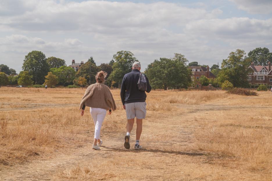
BRITS gearing up for the August bank holiday are keeping a close eye on the skies.
After a relatively sunny and settled start, the is expected to bring a shift in the .
 It’s looking like a mixed bag of weather for the extended bank holiday weekend Credit: Alamy
 An area of low pressure is forecast to sweep in from the Atlantic just as the bank holiday begins Credit: Splash
Experts predict from the south.
So if you’re planning a weekend BBQ or a staycation, you may need to keep the umbrellas on standby alongside the sun cream.
Will it rain this bank holiday weekend?
At the time of writing, it’s for the extended weekend.
T he Met Office says an area of low pressure is forecast to sweep in from the Atlantic .
That will bring with it unsettled conditions, though where you are in the country could prove key.
The service says north-western areas currently appear the most likely to experience the driest conditions over the three-day break.
Heading into Friday, both Northern Ireland and western Scotland will enjoy some of the best conditions, with plenty of sunshine and comfortable temperatures in the high teens to low twenties.
For the rest of the UK, conditions will be far more hit-and-miss as damp, muggy weather takes over.
Forecasters say there could be a “brief respite from the unsettled conditions early on Saturday”, giving you a potential window to fire up the grill, hit the beach, or get out for a walk.
Don’t get too comfortable though – further spells of rain and showers are likely to develop as the weekend progresses into Sunday and .
What is the weather doing this week?
The shift in weather will be felt well before Saturday arrives.
The Met Office says the UK is facing a “marked change in the weather” as the week progresses.
While Tuesday, August 25 offered a pleasant day for many, Wednesday will see across the south and west.
That forecast has prompted a yellow weather warning across a large chunk of England and Wales.
Despite the looming storms, temperatures will remain high, reaching the mid-to-high twenties.
Thursday is currently tipped to be the hottest day of the week, with temperatures hitting 28C in parts of southern and eastern England.
But a yellow warning for thunderstorms remains in place from 6am to 10pm.
The Met Office says there will be “increasing humidity, warmer temperatures and a growing risk of heavy rain and thunderstorms.”
Some areas could see 30 to 40mm of rainfall in a very short space of time, bringing a risk of surface water flooding, hail and lightning.
By Friday, the forecast becomes even more unpredictable as the low-pressure system shifts north-eastwards, taking the heaviest rain towards northern and eastern parts of England.