AUGUST has been a wild ride for Brits so far, with ‘danger to life’ warnings issued for swathes of the country today.
But before you cancel your garden party or deflate the kids’ paddling pool, rest assured that the glorious sunshine is making a spectacular return.
 Temperatures of 36 °C are expected to arrive shortly after the UK is battered by Storm Floris
Today, the Met Office urged people to stay indoors and shelter from the gale-force winds – with some areas expecting 90mph.
The officials advised dog owners living near coastal areas to keep their pooches on a lead.
But in a case of what can only be described as weather whiplash, the hot temperatures will be making a comeback.
However, we aren’t talking about the kind of heat that makes you want to enjoy an ice cream in your local park.
When is the hot weather expected to hit?
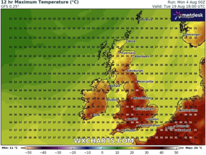
The Met Office predicts that some parts of the UK will be scorched by 36C dry weather.
The heat is expected to be unleashed on August 13 to September 1.
The Met Office states: “Above average temperatures overall seem most likely, with the potential for hot spells to develop, especially in the east and south.”
“Hot spells, cloudless days and the warmest days of the year are expected in some parts of the country throughout the second half of August.”
“Although dry weather is likely to dominate, conditions will be changeable.
It added: “Periods of rain or showers and thunderstorms may develop at times, these perhaps more likely later in the period.”
 The weather coming up
What is the impact of Storm Floris?
Storm Floris has been wreaking havoc and causing severe travel disruption due to “unseasonably strong” winds today.
Some trains have already been cancelled and motorists in some parts of the country have been warned to think twice before risking driving.
Edinburgh Military Tattoo was cancelled and ferries were forced to stop service.
A huge tree crashed down on a car in Sale, Manchester , after fierce gales uprooted it.
Shocking pictures showed the tree blocking the road as the winds continue to swirl.
Which warnings are in place?
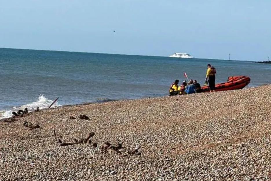
Those living near to the coast have been told to be careful of strong waves that could sweep them off their feet, as the western coast is expected to bear the brunt of the incoming storm.
A yellow warning for wind for northern parts of the UK became active at 6am today and will last until 6am tomorrow.
This means some buildings may be damaged, tiles blown from roofs, and people could be hurt by flying debris.
The warnings have been upgraded to amber for much of Scotland , lasting from 10am to 10pm.
The alert reads: “Injuries and danger to life from large waves and beach material being thrown onto sea fronts, coastal roads and properties.”
When is the storm expected to end?
Storm Floris is expected to be gone by late tonight or early tomorrow morning.
Tuesday will be breezy, with showers and by Wednesday it wil be much drier.
 People soaked up the sunshine last week in Cambridge
 A tree fell on top of a car as Storm Floris tears through the country
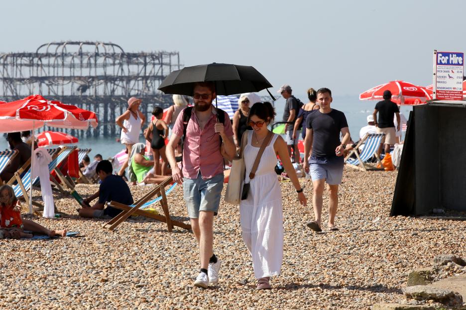
 Once the wind and rain have stopped, the UK is due a bout of hot weather
 The 5-day forecast
Today:
Storm Floris brings unseasonably strong winds during Monday, accompanied by heavy rain at first, especially in the north.
Turning drier from the west later with sunny spells later that will spread eastwards through the day, though still windy.
Tonight:
Rain in the southeast to begin with but slowly clearing. Clear spells with some shower in the north.
Staying windy here but slowly easing by the early morning.
Tuesday:
Staying blustery across the north with some showers in the northwest to start, becoming more widespread across northern areas.
These ease later, but feeling cooler than in recent days.
Wednesday to Friday:
Drier and warmer on Wednesday with lighter winds. Generally cloudier again on Thursday with outbreaks of rain for some.
Showers continuing in the north on Friday.

Eze Chidiebere Paul
I'm dedicated to creating high-quality content that informs, inspires, and delights. If you have any questions or suggestions, don't hesitate to get in touch. Happy reading!