HEAVY rain and thunderstorms are set to batter Brits this weekend as the Met Office warns of “significant”; flooding.
The UK has been urged to check travel routes this morning as are expected to spark disruption.
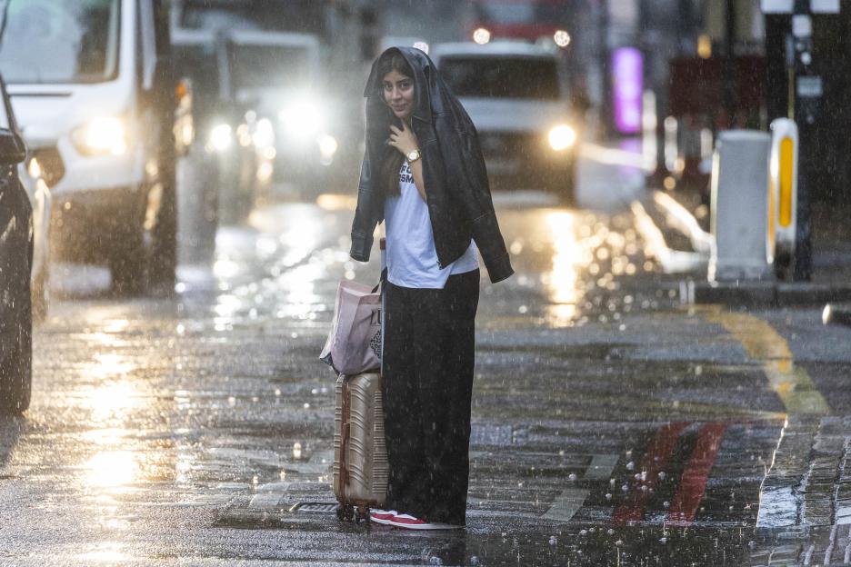
 Brits were caught out by the heavy rain in London this morning
 Lightning above Hastings Pier in East Sussex late last night
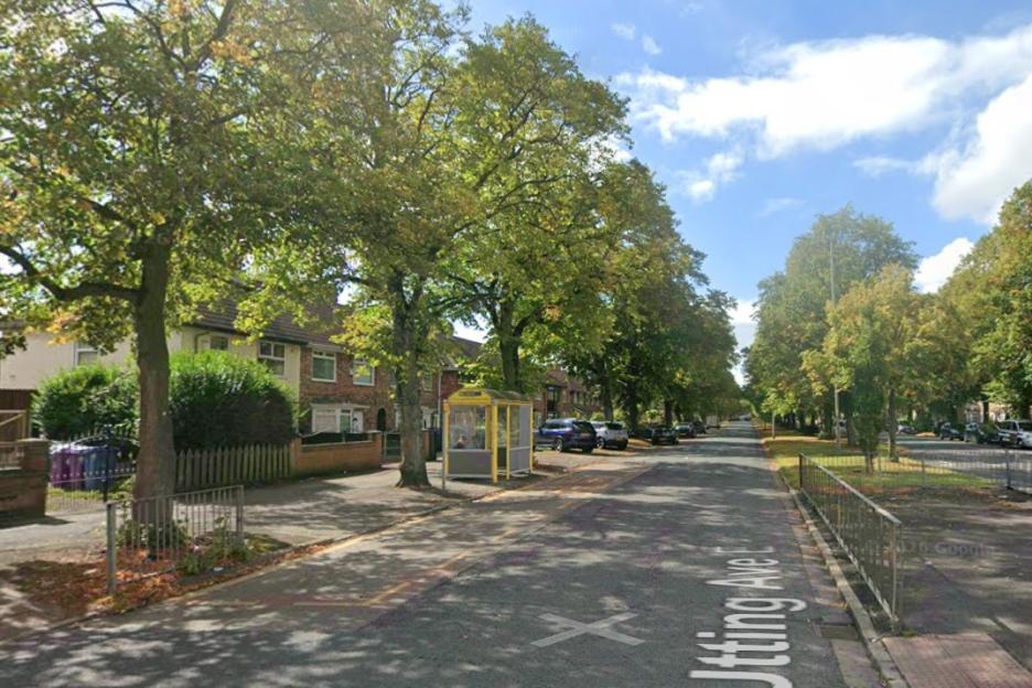
 The Met Office has issues three weather warnings across the UK
Following a spell of glorious sunshine, the are off to a wet and windy start.
The Met Office have issued an amber weather covering the south east coast.
It also includes the whole of and stretches as far as Cambridge.
The alert was in force from 4am this morning and will end at 11am.
“Torrential rain, with thunderstorms in places, could lead to some significant surface water flooding during Saturday morning,”; warned the weather agency.
Some communities are “likely”; to be cut off if roads flood, with be train and bus delays or cancellations also possible.
Motorists have been urged to take care as “difficult”; driving conditions are predicted too.
National Highways advised drivers to take caution on the roads this weekend and frequently check traffic conditions.
Thunderstorms may also trigger power cuts and loss of other services to houses affected.
Brits have been advised homes and businesses could be flooded “quickly”;, while “floodwater, lightening strikes, hail or strong winds”; could also cause damage.
“Fast flowing or deep floodwater is likely, causing danger to life,”; the Met Office added.
Chief Met Office meteorologist Andy Page said: “Intense rainfall will impact parts of the UK as thunderstorms move in from France.
“This weekend is expected to be busy on the roads as more schools in England and Wales break up for the summer holidays, so it’s important people keep up to date with the very latest forecast.
“There will be spells of more pleasant weather in parts of the UK through the weekend, with some sunny spells in between systems as they move through.”;
 There are two yellow weather warnings, and an amber alert for thunderstorms
 Brits have been warned of flooding and travel chaos
Elsewhere, much of the UK, excluding and the south west of , are under a yellow thunderstorm warning.
This came into place at midnight, with “heavy rain and some thunderstorms”; predicted until 9pm tonight.
The warning on the Met Office website reads: “Rain will likely be locally torrential, bringing 20-30 mm in less than an hour in many places, with 60-90 mm in less than three hours possible in a few places.
“Whilst rain will clear from the south of the area by early Saturday afternoon, further thunderstorms are likely to develop here.
“As well as heavy rain, impacts from frequent lightning, gusty winds and large hail are also likely.”;
Meanwhile, in , Glasgow and Edinburgh have been issued a yellow weather warning for rain.
This will come into effect at 4pm this afternoon, and last until midday on Sunday.
Those affected have been warned of “a slight chance of power cuts and loss of other services”;.
Delays to public transport and a “small chance”; of flooding is also forecast.
The Environment Agency has currently issued 30 flood alerts where disruption is possible.
And, the Scottish Environment Protection Agency has 10 live flood alerts.
Although the south west of England may have escaped weather warnings this weekend, looking ahead there’s a yellow alert for rain on Monday.
It covers Plymouth all the way down to Land’s End, but only lasts from midnight to 3am.
Despite torrential downpours and thunderstorms for much of the UK this weekend, temperatures will remain warm.
Figures are forecast to climb into the high teens this morning, with highs of 22C across the south east by 1pm.
Elsewhere, the mercury will remain hovering between 19C to 21C for all today.
Tomorrow, Brits can expect a very similar forecast with the same high of 22C.
Met Office Chief Meteorologist Jason Kelly, said: “More warnings could be issued for the weekend and early next week. Keep an eye on the Met Office forecast for updates as the picture develops.
“Within the warm and humid airmasswe will potentially seetemperatures reaching 30°C or morefor parts of eastern England by Friday, with very warm and muggy conditions continuing into the weekend in parts of central and southern England.”;
Next week, the weather will still be unsettled, withshowers and thunderstormsat times.

Eze Chidiebere Paul
I'm dedicated to creating high-quality content that informs, inspires, and delights. If you have any questions or suggestions, don't hesitate to get in touch. Happy reading!